Cycling Col du Telegraphe
Cycling Col du Telegraphe in the French Alps from Saint Michel de Maurienne is one of the most famous cols to ride within the region. The col has featured in many stages of the Tour de France over the years with the latest being 2017 and also as part of amateur competitions such as the annual Marmotte Granfondo.
The road is generally kept open for most of the year and has kilometre markers detailing the gradient ahead and remaining kilometres to the summit which can be a help or hindrance. This road is also the main access to Valloire ski resort and Col du Galibier.
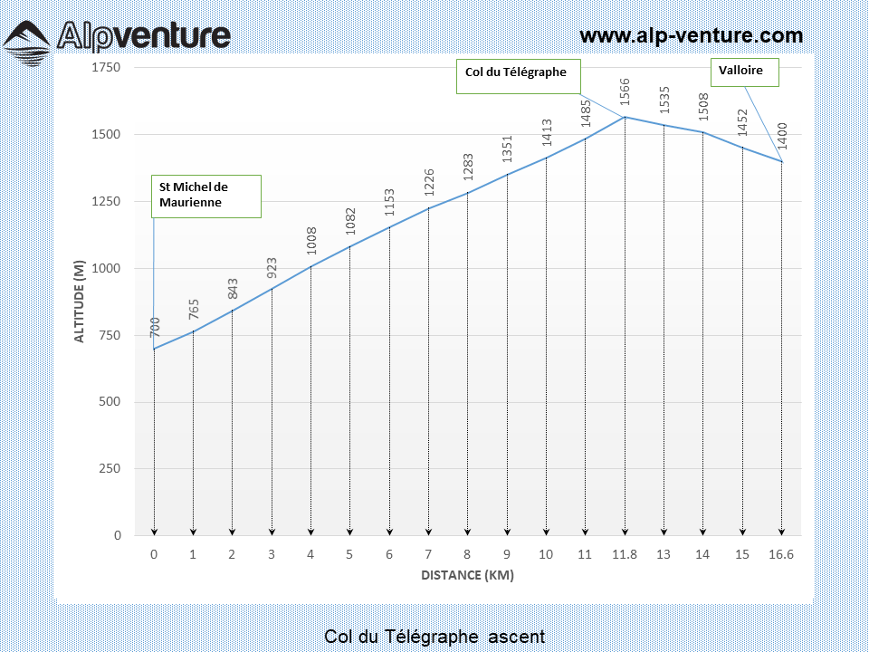
Route details
Distance (one way):11.8km
Start altitude: 710m
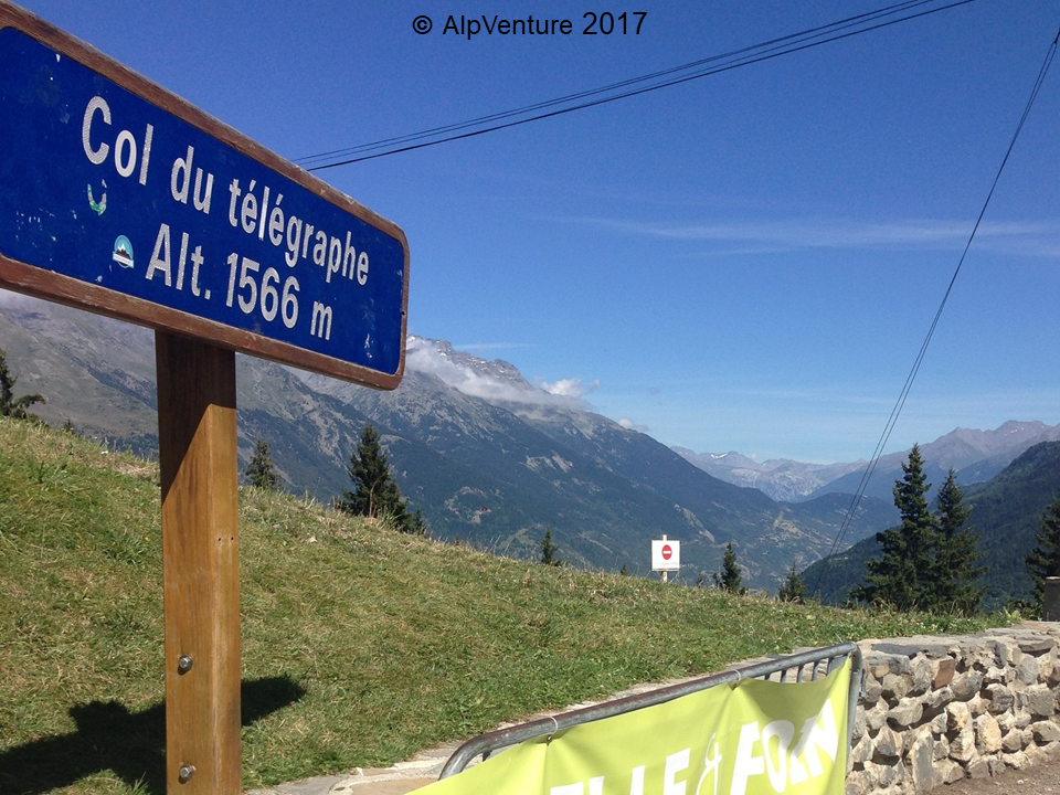
Highest altitude: 1,566m
Height gain: 856m
Start point: Saint Michel de Maurienne
Gradients
Average gradient: 7.3%
Maximum gradient: 9.8%
Route
- Starting on main street in St Michel de Maurienne (road number D1006) turn right and follow the signs for Valloire / Col du Télégraphe / Col du Galibier (road number D902).
- The ascent is quite a steady gradient of just over 7% with most of the route being tree lined which can offer some shade on very hot days. There is a restaurant at the top of the col if a break is required.
- From the top of Col du Télégraphe you have about a 4.8km descent down to the ski resort of Valloire if you wanted to ascend from both sides in the same day. Valloire has some shops and restaurants available if required.
© Alpventure 2017
Summit of Col du Télégraphe
 Back to blog