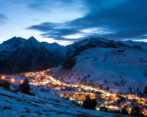
We only operate private transfers and will only transport your group, so there is no waiting around. Our experienced drivers speak English and will track your incoming flight, meet you when you have collected your luggage and then take you directly to your destination address.
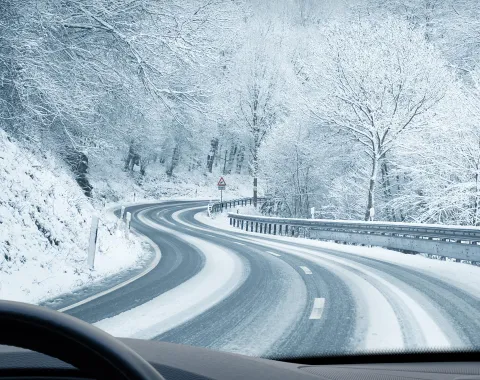
Our modern vehicles are of a high standard and fully equipped for Alpine conditions with snow tyres, snow chains and are regularly checked and maintained to a high standard.
Competitive Prices
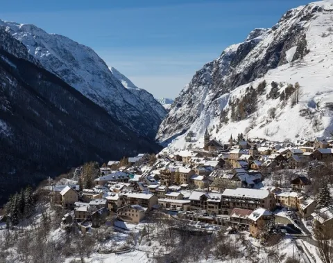
We offer competitive prices for private transfers to ski resorts in the Alps. Our main priority is ensuring that our transfers are cost-effective. We calculate our prices using a number of factors including: arrival airport, distance, date and day of travel etc.


 Royalty
